|
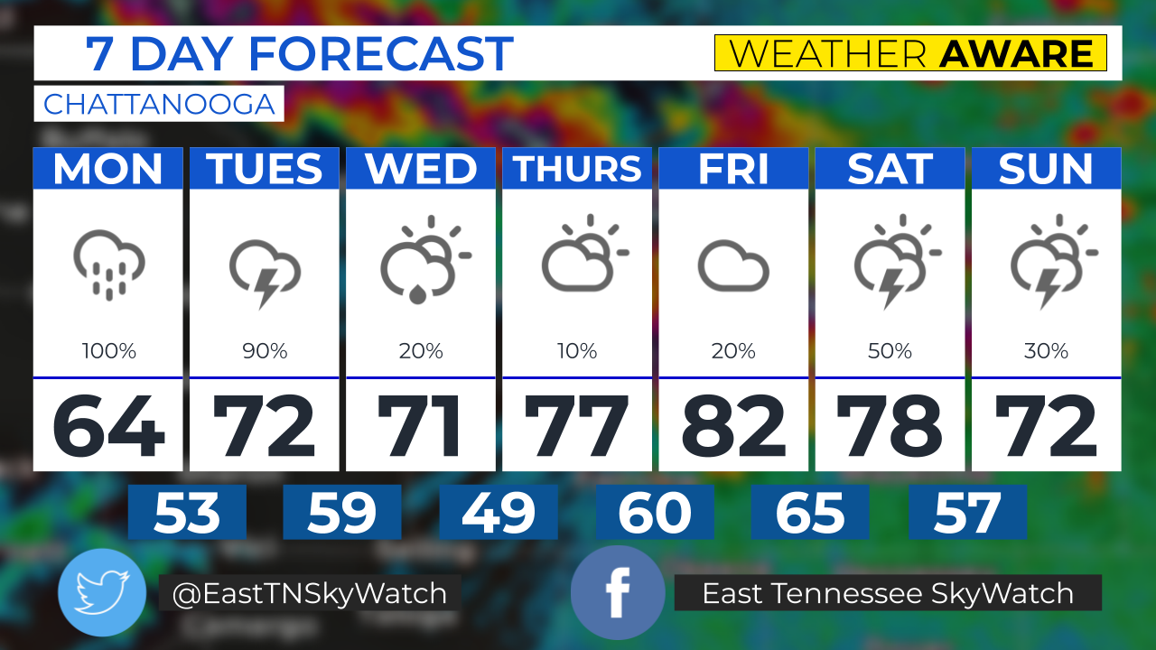
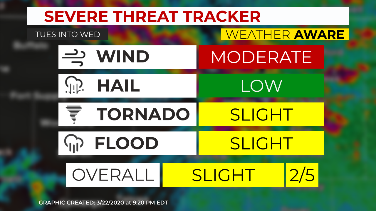
Here's the week ahead for East Tennessee. Keep a close eye on Tuesday, as the potential for severe weather exists, especially from Morristown, points west and south. A squall line will for over middle TN and move east. Attached is the severe threat tracker for Tue PM into Wed AM.
0 Comments
We are certainly keeping a close eye on Tuesday. The potential exists for strong to severe storms Tuesday into Wednesday. The area under the greatest risk would be from the Plateau into Knoxville and Chattanooga. Even though the storms may weaken moving east, The Tri-Cities may see some strong to severe storms as well. We are getting a new graphics system and a new logo as well! This will assist in better serving the public during severe weather and keeping you and your family safe when severe weather strikes our region.  |
AuthorEast Tennessee SkyWatch Archives
May 2023
|

 RSS Feed
